Search All Items
- Filters:
- Type
- Image 2673
- Still Image 417
- Text 261
- Text 19
- Language
- English 3086
- Spanish 287
- ENGLISH 3
- English 1
- census_013 1
Search Results 171 to 180 of 3402
-
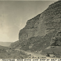
Caption: "Rocky Mountains Near State Line East of Salt Lake City. Trees are Scarce in the Rockies. Oct. 2, 1934." Automobile parked along a road, with train tracks on one side and dramatic, steep, rocky bluffs on the other.
Date: 10/2/1934
-
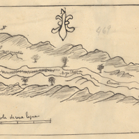
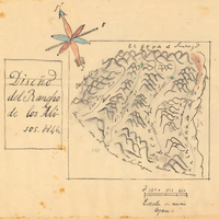
Hand-drawn sketch map of Prietos y Najalaygua boundaries. Volume 2, page 141.
Date: 1845
-
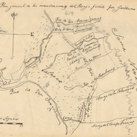
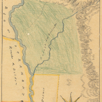
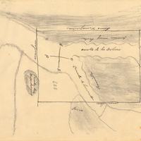
Hand-drawn sketch map of Consumnes or Rancho de Hartnell boundaries. Volume 2, page 103.
Date: 1844
-
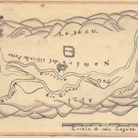
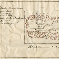
Hand-drawn sketch map of Rio de los Berrendo boundaries. Volume 2, page 98.
Date: 1844
-
Hand-drawn sketch map of San Juan Bautista boundaries. Volume 2, page 58.
Date: 1843
-
Hand-drawn sketch map of Canada de los Alisos boundaries. Volume 2, page 197.
Date: 1845
-
Hand-drawn sketch map of Agua Caliente boundaries. Volume 2, page 7.
Date: 1841
-
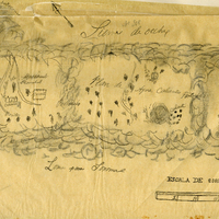
Hand-drawn sketch map of Canada de la Berrenda boundaries. Volume 2, page 195.
Date: 1846